Forest Technology Solutions
As leading providers of forestry technologies, our team helps simplify sustainable forest asset management.
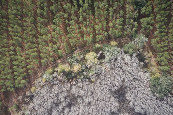
From inventory to imagery, we help organizations transform how they do business through a Single Version of the Truth for owned or managed forest assets.
If you’re using technology which isn’t based on cloud computing you’re likely missing out on key operational benefits and paying more. Technologies which aren’t cloud architected will be obsolete sooner, require more maintenance and more labor spent moving information around.
A Cloud Native centered approach simplifies, allows for trouble free operation for years and lowers cost of ownership. Operationally, organizations realize single point of data entry, real time anywhere access to content and minimal infrastructure to purchase/maintain. Follow the links below to learn more about how to get there!
Natural Resource managers and foresters specialize in optimizing outcomes on high value land and timber assets. Many natural resource managers find themselves looking over a digital divide which they are uncertain how to cross. The technology and information management practices of yesterday are not keeping pace with today's increasing information demands and pace of business.
The Web GIS for Forestry combines the best of globally used computing platforms to function as a single solution. As a fully managed solution in the Azure cloud, organizations with limited in house technical resources can operate powerful functionality at a modest investment. Digitally transform operations with A Single Version of the Truth for forest assets in real time, anywhere work is being done.
Turnkey services to support or run inventory system from end to end. A good inventory system needs current and capable technologies and information management practices. Click below to learn more about how to get more value from data investments.
Planet Labs imagery is a game changer for forestry. As a reseller and service provider, we make sure our clients can make the most of this imagery services streamed directly to Esri GIS on all acres and updated every day. Combined with a strategy for web GIS, the use of Planet labs transforms how forest operations leverage imagery – making imagery easier to use and manage, more available across the organization and quite often with an economical advantage to traditional imagery programs like drones and fixed wing aircraft.
Our work with agencies and companies on sensitive species has resulted in transformative technologies for simplifying the management of the Red-Cockaded Woodpecker (RCW). Management of the RCW requires data and inputs from multiple sources, each of which can regularly change and impact habitat analysis.
With an increasing amount of sensitive species work to be done, biologists need tools which make processes simpler, repeatable and output reliable results.
Many of our forestry and wood products solutions support sustainability whether sustained yield, planting or forest certification programs. Supply and operational visibility is essential as more sustainability questions originate from the marketplace and stakeholders. A strategy to monitor supply, resources across dispersed geographies is essential for businesses which need to attest to sustainable practices or increase market competitiveness.